Time and position
Recording includes the time and an available GPS position. GPS requires permission and a usable position fix; missing data remains visibly missing.
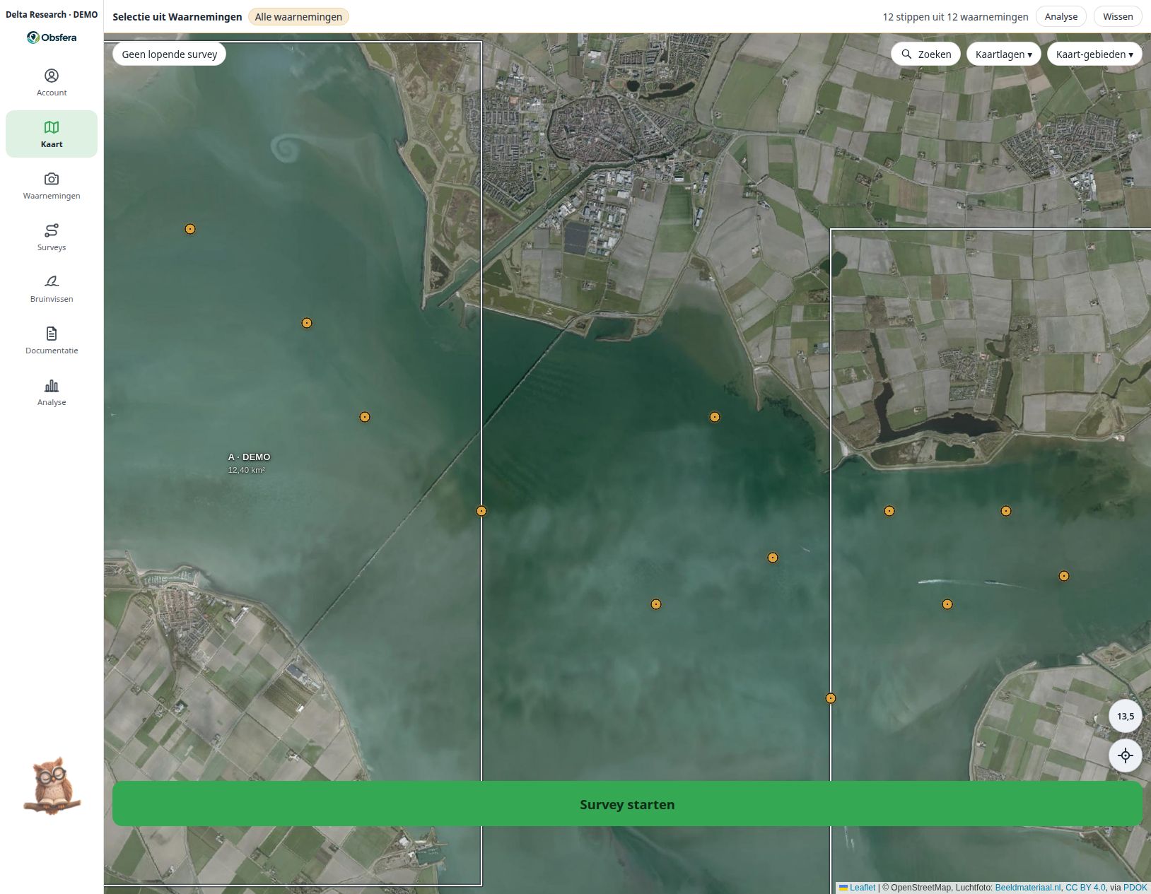
Combine observation points, survey tracks and sectors with a map or aerial imagery. Bathymetry adds channels and tidal flats: Rijkswaterstaat for the Oosterschelde relative to NAP, EMODnet for Dutch waters relative to LAT; these are not current water depths and are not for navigation.
Combine observation points, survey tracks and sectors with a map or aerial imagery. Bathymetry adds channels and tidal flats: Rijkswaterstaat for the Oosterschelde relative to NAP, EMODnet for Dutch waters relative to LAT; these are not current water depths and are not for navigation.
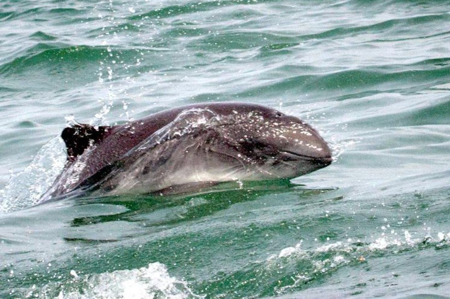 Delta-0110.10.2026 · Sector A · DEMO
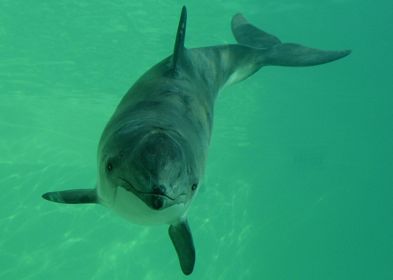 Delta-0211.10.2026 · Sector B · DEMO
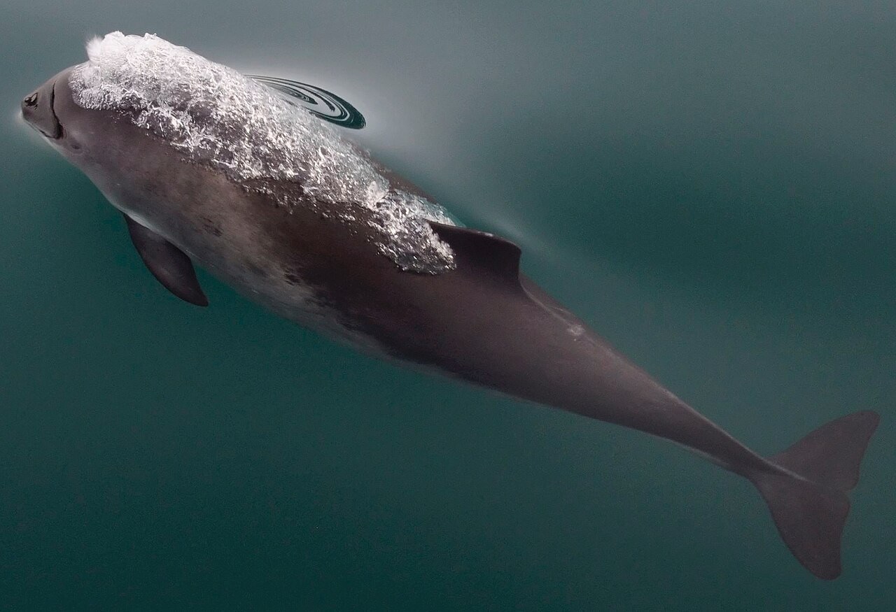 Delta-0312.10.2026 · Sector C · DEMO
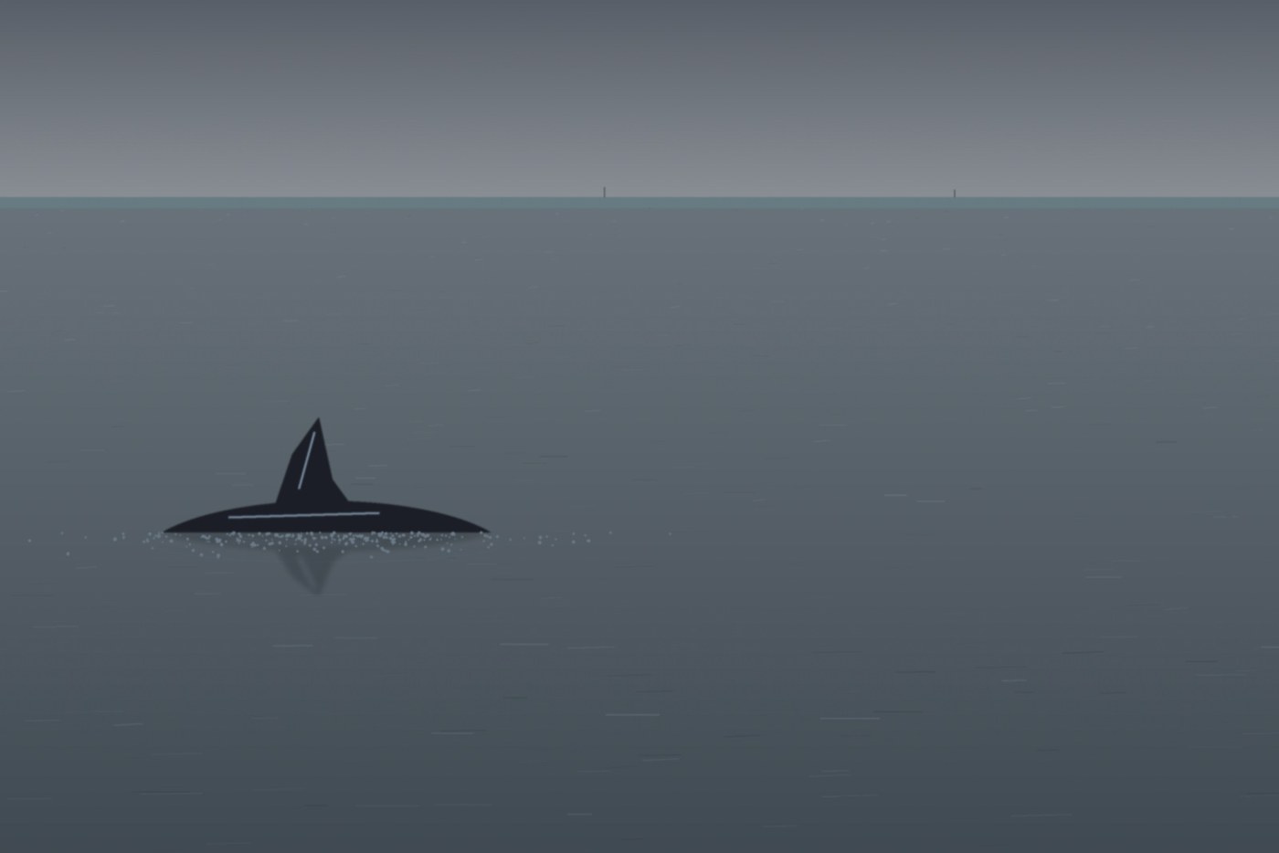 Delta-0413.10.2026 · Sector A · DEMO
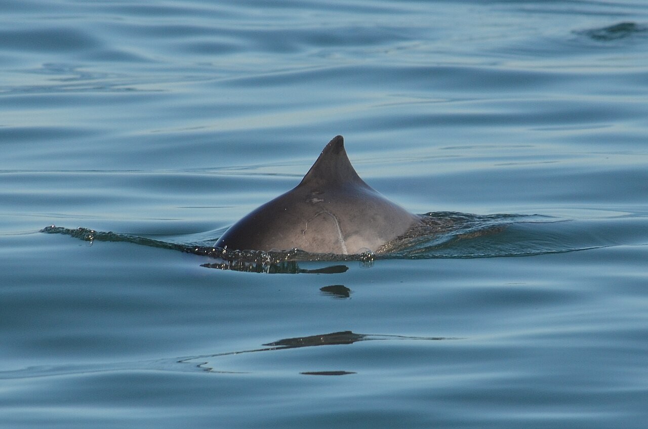 Delta-0615.10.2026 · Sector C · DEMO
Point at an amber animal marker, or tap it.
All example screens →
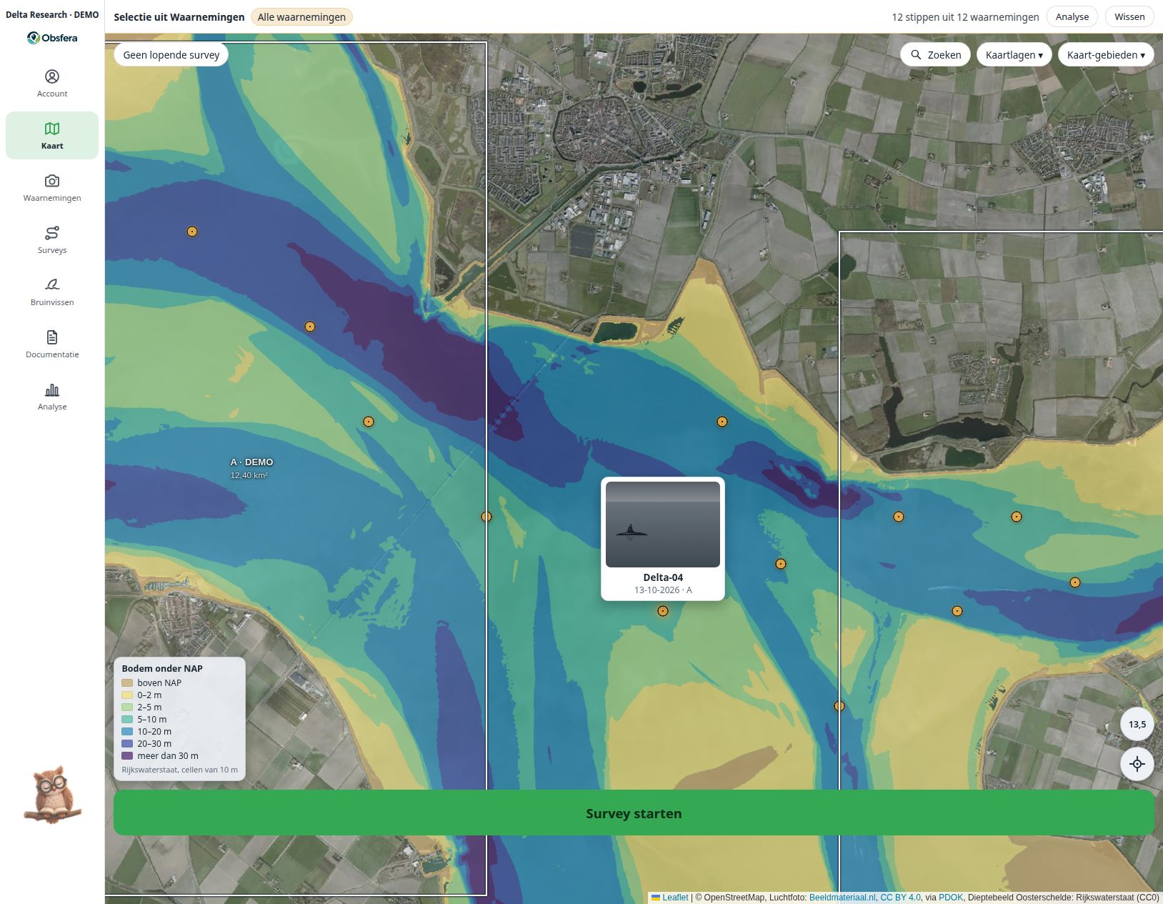
Obsfera adds available system data and keeps it with your research. Automatic data depends on the device, files and your group configuration.
Recording includes the time and an available GPS position. GPS requires permission and a usable position fix; missing data remains visibly missing.
The position determines the sector when it falls within a drawn sector boundary. New observations join the active survey; a manually selected sector is retained.
On upload, Obsfera reads available file metadata such as capture time, camera, lens and GPS. A photograph without this information cannot supply it.
Once automatic system lists are linked, the server enriches survey and observation fields with available weather and tide data. Time and position are required; tides depend on available Dutch monitoring stations and manual corrections are preserved.
The source remains visible alongside added weather data. Modelled weather and astronomical tides provide context rather than replacing field measurements.
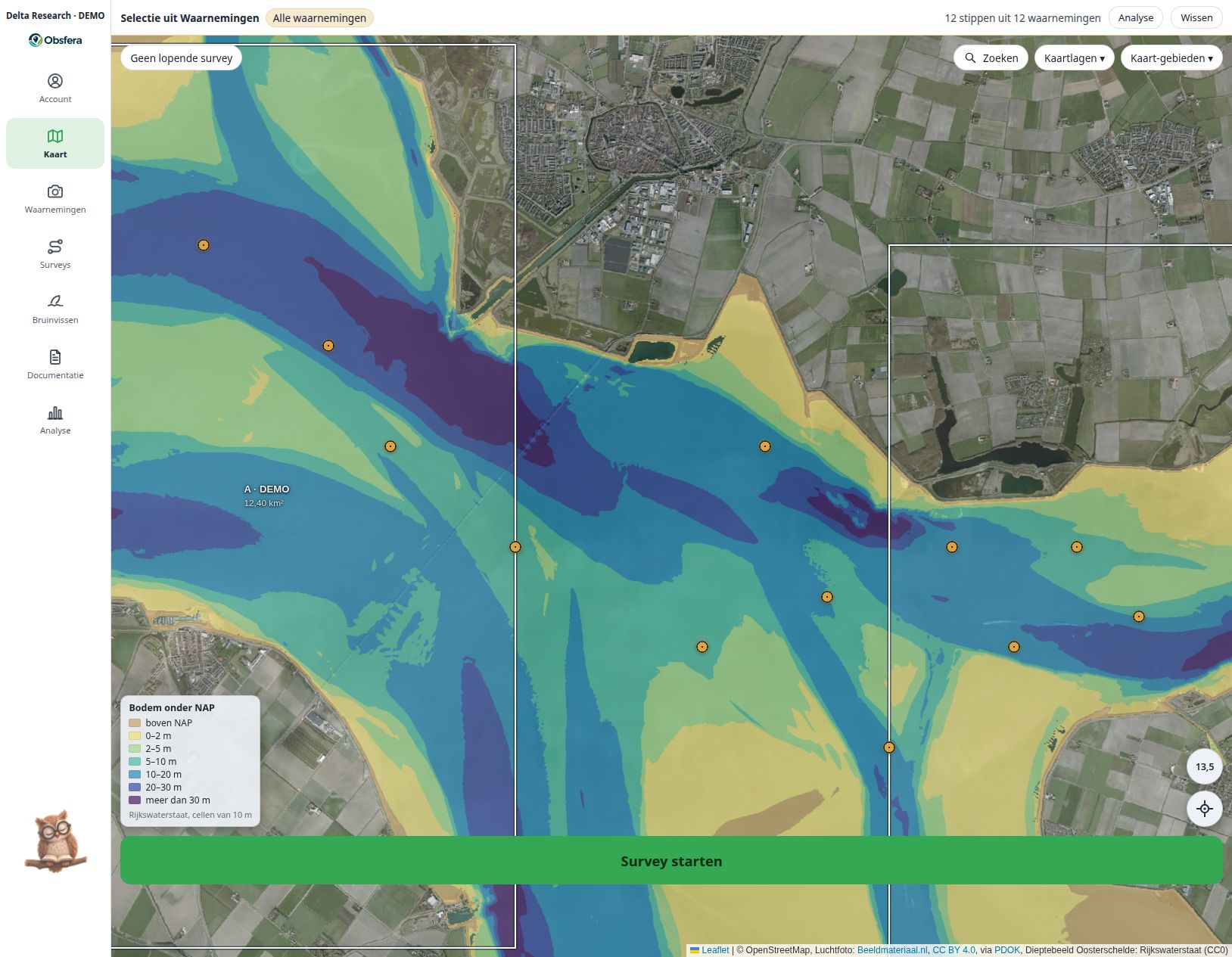 LAT / NAP · EXAMPLE INTERFACE · FICTIONAL DATA
Explore how a dedicated research group could fit your protocol, team and long-term data stewardship.