Explore the demo
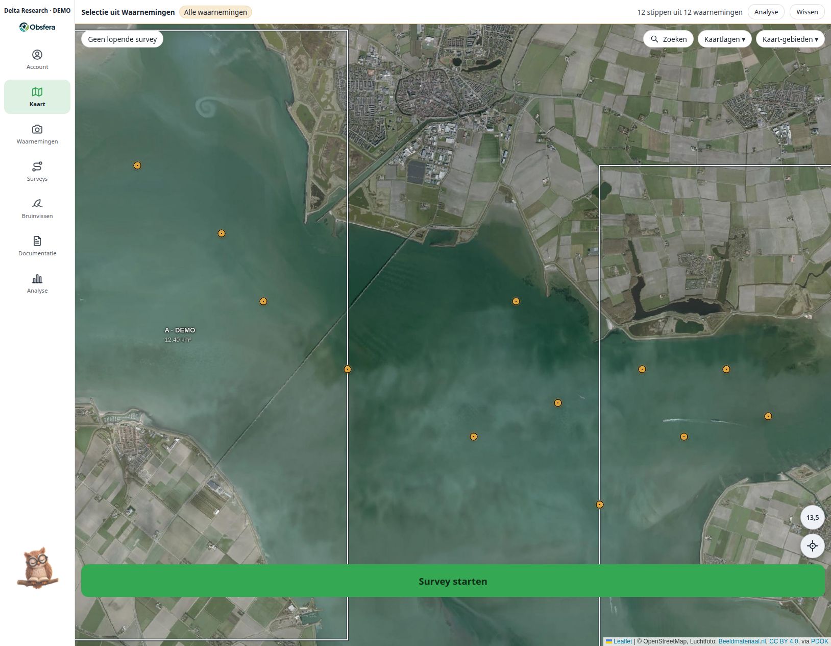
Screenshots of the existing application in a local demonstration environment. Records, animal names and sectors are fictional. The screen language is Dutch.
See the research in its landscape
Combine observation points, survey tracks and sectors with a map or aerial imagery. Bathymetry adds channels and tidal flats: Rijkswaterstaat for the Oosterschelde relative to NAP, EMODnet for Dutch waters relative to LAT; these are not current water depths and are not for navigation.
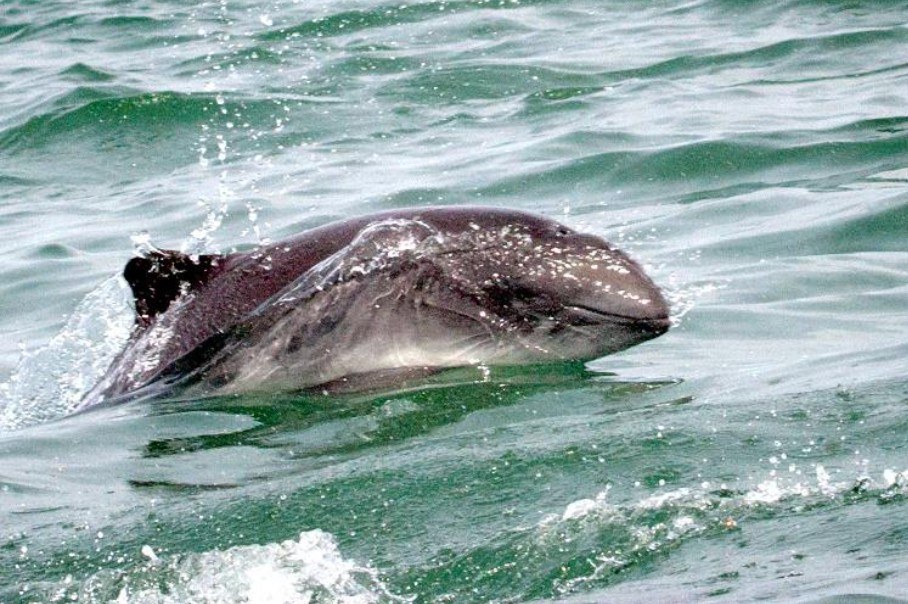 Delta-0110.10.2026 · Sector A · DEMO
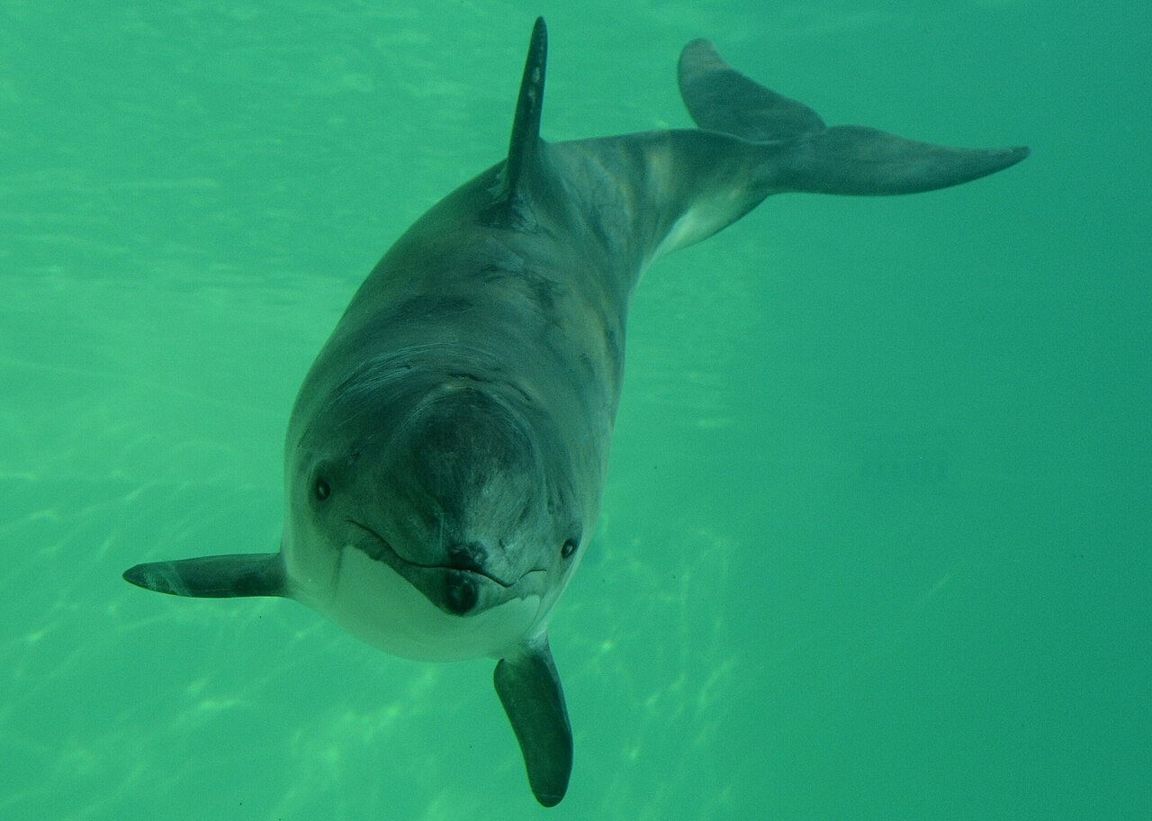 Delta-0211.10.2026 · Sector B · DEMO
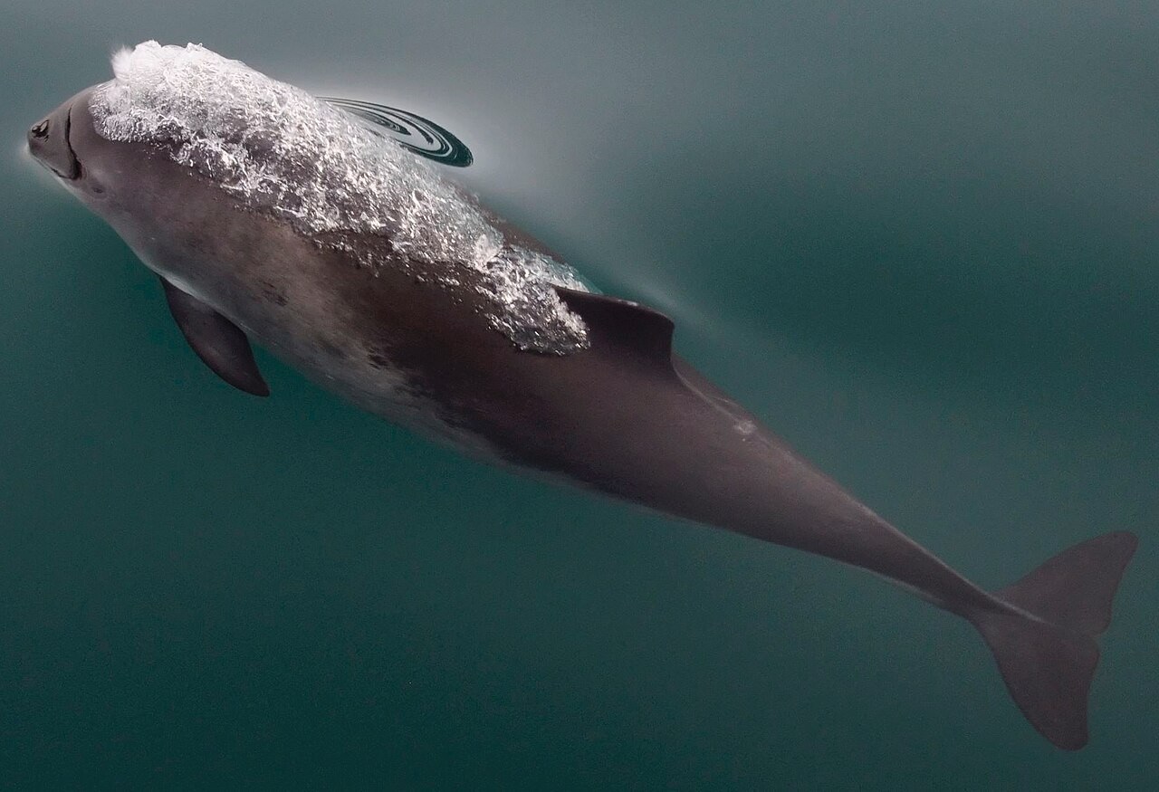 Delta-0312.10.2026 · Sector C · DEMO
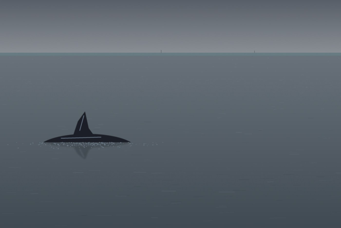 Delta-0413.10.2026 · Sector A · DEMO
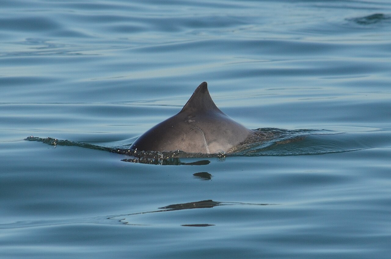 Delta-0615.10.2026 · Sector C · DEMO
Point at an amber animal marker, or tap it.
All example screens →
A look inside the research environment.
Screenshots of the existing application in a local demonstration environment. Records, animal names and sectors are fictional. The screen language is Dutch.
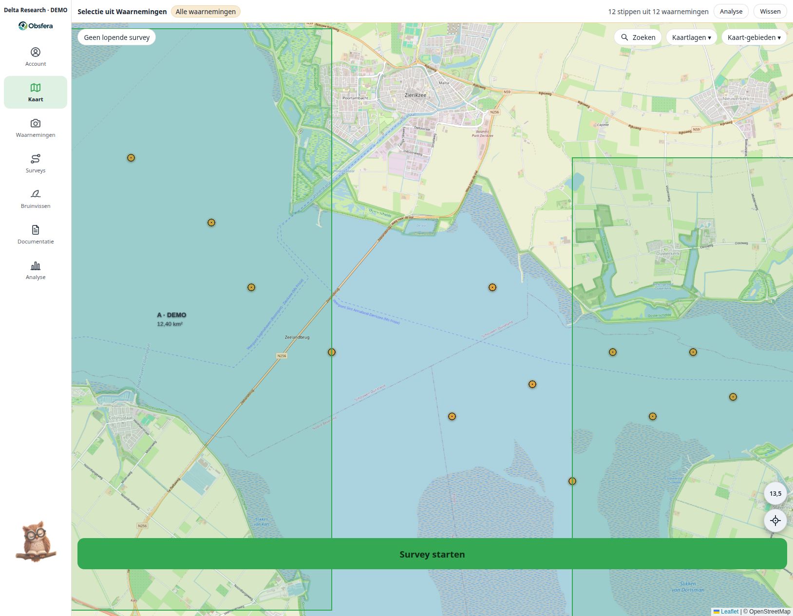
Screenshots of the existing application in a local demonstration environment. Records, animal names and sectors are fictional. The screen language is Dutch.